The aim of this work package is to research which historical geodata in the form of images or maps are available in Germany and, based on this research, to acquire test data for the developments in the other work packages. In addition, a data model will be developed and specified in the abstract, which will form the basis for the developments in the other work packages.
Data research
The focus of the data research is on data sets that are freely available on the internet or can be obtained from the German state surveying authorities. Maps roughly corresponding to a scale of 1:25,000 are available in the form of scanned maps from about 1700 onwards, and from about 1990 onwards there are also digital topographic data sets that largely correspond to today's ATKIS. In addition to the topographic map 1:25,000 (TK25), which is available in most areas over a period of approx. 130 years, there are also older maps that were produced in different ways in the various regions of the Holy Roman Empire, e.g. the Kurhannoversche Landesaufnahme from 1764 to 1786, which covers the entire area of the area ruled by the Hanoverian princes at a scale of 1:21,333 1/3.
Information about the availability of aerial photographs can also be found at the state surveying authorities. Apart from a few early aerial surveys, especially in large cities, black-and-white aerial photographs without orientation parameters are generally available for the period from approx. 1953 to approx. 1990 and have only been partially digitised. From about 1990 onwards, analogue colour images were recorded. In the first decade of the 21st century, the transition to digital data acquisition took place; for this period, the original images are generally provided, too, sometimes with orientation parameters. Digital orthophotos have been available since about 2008. In some federal states, orthophotos from earlier times are also available. For instance, in Mecklenburg-Vorpommern, there exists a black-and-white orthophoto mosaic from 1953 and colour infrared orthophotos from 1991. The geometric resolution of the images ranges from 10 cm to 80 cm, depending on the state, the time and the desired quality.
In addition to aerial photographs, satellite image data can also be considered, as long as the resolution is sufficient for investigations at a scale of 1:25,000. While the ground resolution for Landsat images available from 1972 onwards is considered too coarse, especially in the early period, the images from the SPOT missions could be relevant for the period after 1986. Missions such as RapidEye or Sentinel-2 are also relevant. Since about 1990 also satellites that provide images with a resolution of 1 m and better, e.g. Ikonos, QuickBird, WorldView or Pleiades.
Data acquisition
Data acquisition is carried out for several test areas, whereby each data set consists of time series of historical maps and aerial or satellite images. Due to the great importance of this scale for the documentation of topography, the focus is on topographic maps or data sets that roughly correspond to a scale of 1:25,000 and thus to the degree of generalisation of ATKIS. The selection is made according to the processes selected in WP 4, which must be observable in the data. In this context, a large diversity with regard to topographic characteristics is aimed for.
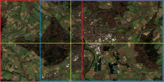
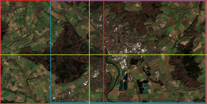
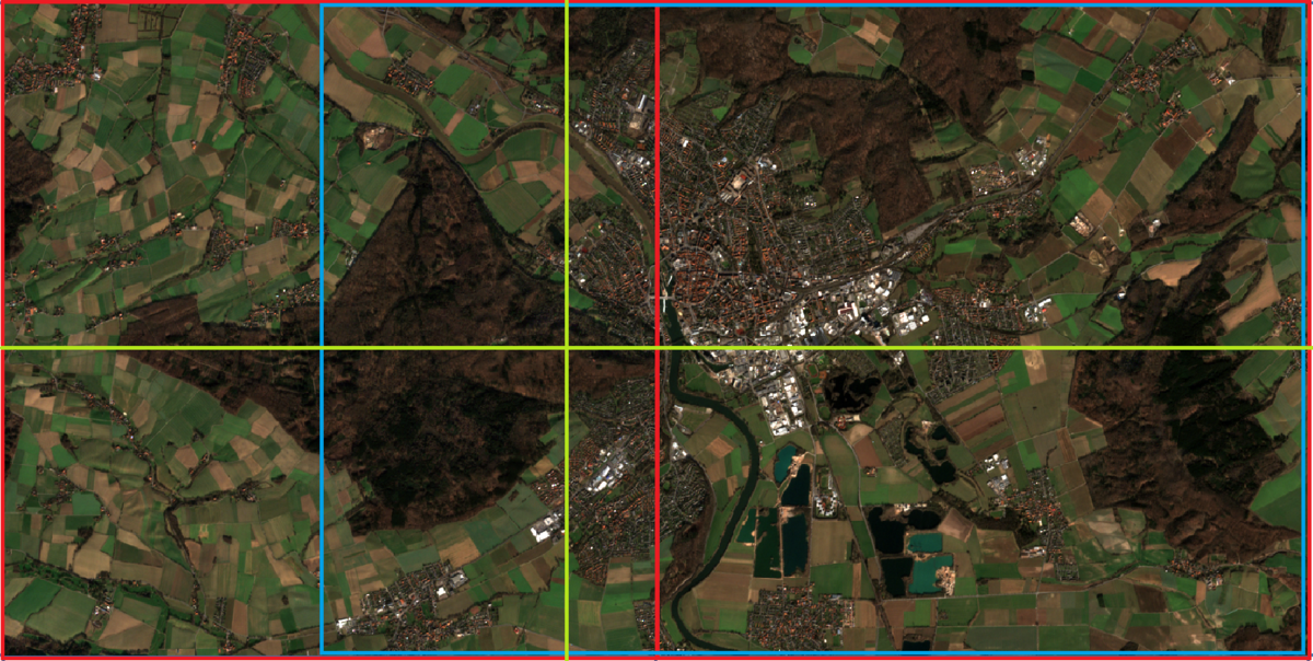
The city of Hameln (Lower Saxony), with its surrounding area, was selected as the first test area. The test area size is 8 x 12 km2; the figure below shows its definition. First image data were acquired in summer 2023.


Further test sites will be located in southern Germany (Bavaria or Baden-Württemberg) and in the new federal states.
Conception of a data model
In this part of work package 1, the data model was specified in an abstract way to be implemented in the data management system in work package 2 . An essential task is the modelling of time series based on geodata. In this context, the focus is on storing data in the original format (vector or raster) and generating data cubes structured as rasters only when required. It is also important to be able to manage variants of data and to provide metadata and reference data.
An essential point of the data model concerns the definition of the object type catalogue, which will be used to classify the historical data. It is based on the class structure used in the Cop4All project. It distinguishes 15 land cover classes, some of which may not occur in the test areas (e.g. ice. If necessary, classes that are difficult to separate (e.g. a deciduous or coniferous tree) will be combined.


